Digital Tools for Cultural Heritage Management | Courses
The program comprises various specialist courses during the autumn semester:
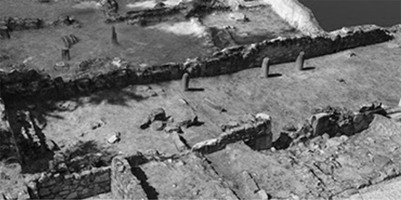
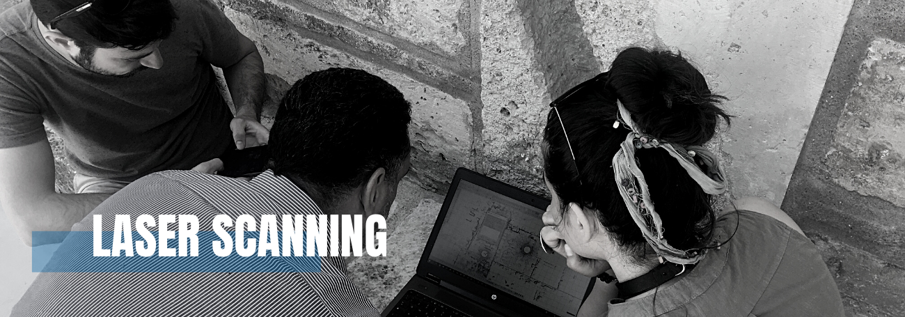
- Surveying methods: theory on photogrammetry, laser scanning, and other advanced spatial data acquisition techniques (online);
- Land surveying in practice: practical course on the actual acquisition of photogrammetric and laser scanning data (online);
- Data processing: course on the processing of the previously acquired data using appropriate software, resulting in deliverables and critical data quality assessment (online);
- International land surveying project: integrated fieldwork (Greece, end of October, beginning of November)
- Cartography and GIS: technical course on the basics and advanced use of geographical information systems (online);